
Suburb in New South Wales
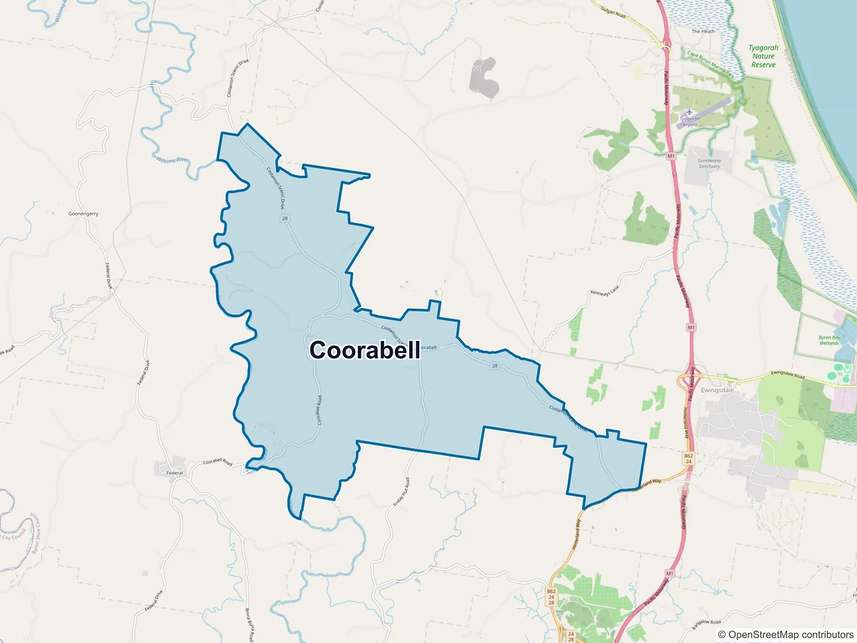
Coorabell
2479, New South Wales, Australia
| Population | 481 |
|---|---|
| People / km² | 23.6 |
| Median age | 48 |
| Median hhd income / wk | $2,107 |
| Area | 20.4 km² |
| Addresses | 259 |
Source: ABS 2021 Census (Suburbs & Localities) and Geoscape G-NAF.
Postcode
Coorabell is in postcode 2479.
Demographics
Age distribution
0–44%
5–1410%
15–194%
20–242%
25–3412%
35–4414%
45–5414%
55–6422%
65–7414%
75–842%
85+0%
Community
- Born in Australia
- 62%
- Born overseas
- 25%
- English only at home
- 79%
- Other language
- 8%
- Indigenous
- 2%
Households & income
- Avg household size
- 2.7
- Personal income
- $836/wk
- Family income
- $2,288/wk
- Median mortgage
- $2,485/mo
- Median rent
- $485/wk
Wider area — surrounding postcode 2479: population 5,780, median age 43, median household income $2,048/wk.
Nearby suburbs
The closest suburbs to Coorabell.